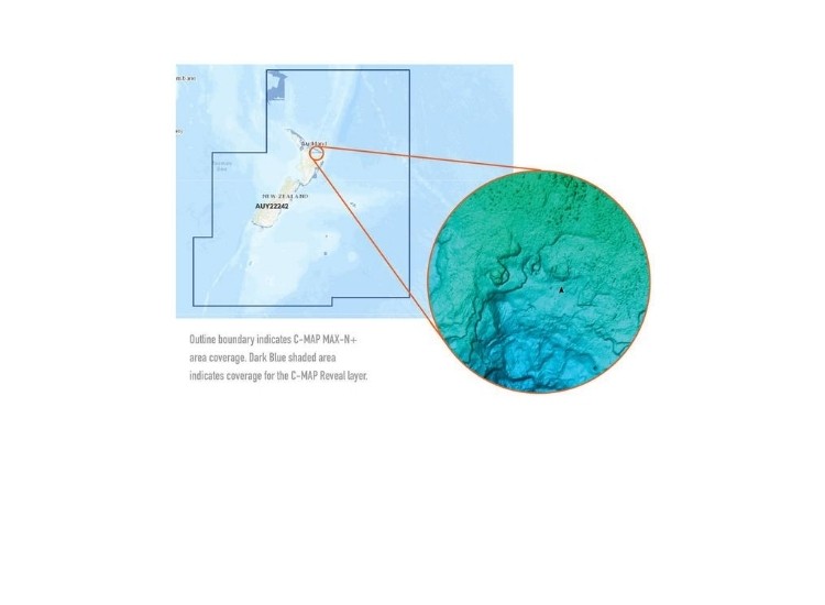
C-MAP Reveal: New Zealand, Chathams & Kermadec
$389.99 NZD
Information
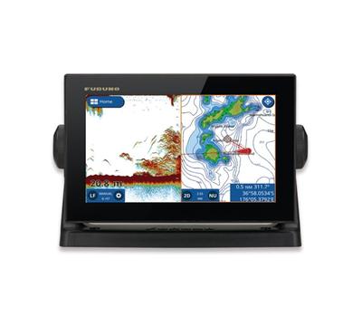
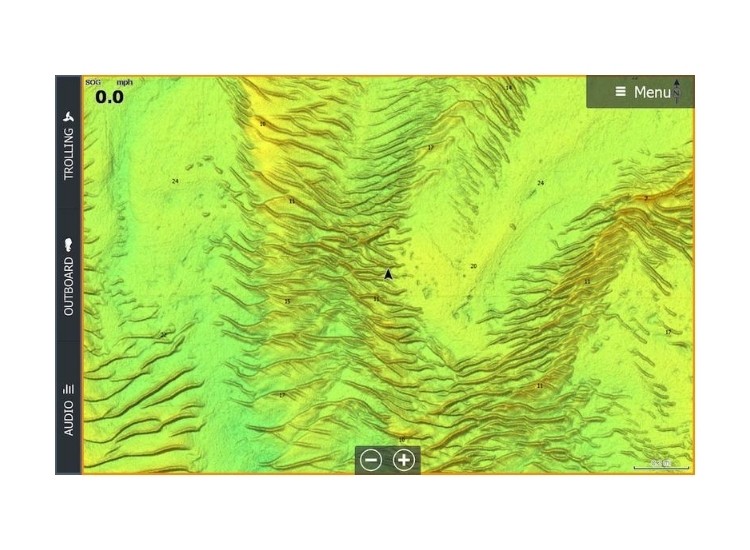
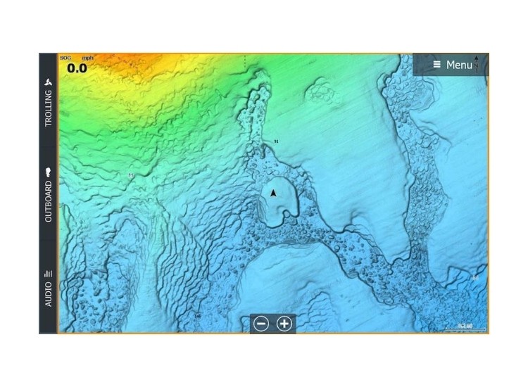
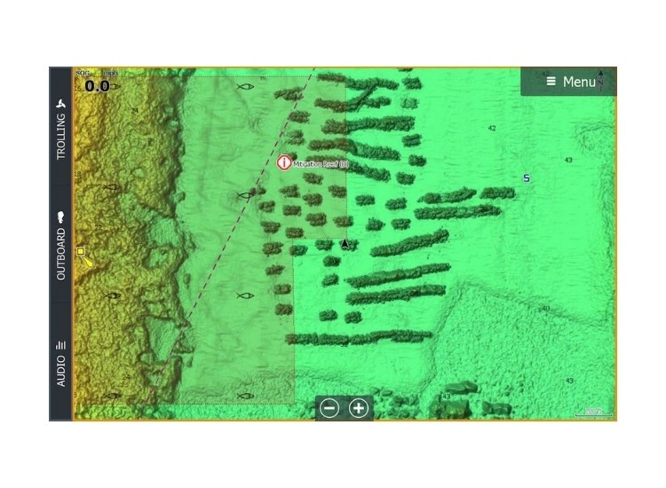
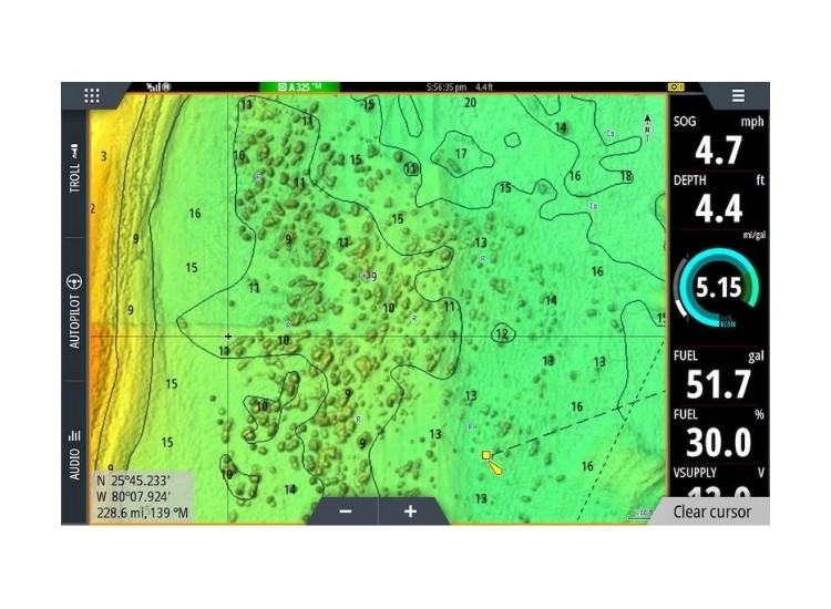
C-MAP Reveal charts help anglers and divers save time out on the water, finding key areas faster with the hi-Def views of structure, wreaks and contour changes of the sea floor. The high-detail C_MAP Reveal imagery replaces shaded relief data in selected areas with more accurate depth variations, revealing the best fishing and diving spots. C-map Reveal charts include C-MAP HRB Coastal Data, Genesis Social map data and satellite imagery that can be overlaid on top of the standard vector charts used for the navigation. The C-MAP Reveal layer is activated by turning on the Shaded relief setting and is available for use on Lowrance, Simrad and B&G Chartplotters.
- High-definition C-MAP Reveal layer of the sea bottom on selected areas
- Reduces search time with immediate display of bottom structure, wrecks, isolated reefs and ledges
- Easy to use – just turn on Shaded Relief setting in chartplotter
- C-MAP Reveal charts contain full C-MAP MAX-N+ vector navigation data, including new features like High Resolution Bathy, Custom Depth Shading, Genesis layer and satellite imagery
- Includes detailed marina and port plans
- Most affordable sea bottom charts available
Add to Wish List On your Wish List